APA2018 - Regional Deep Imaging Campaign
23 January 2019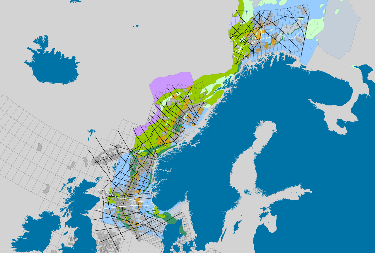
The APA2018 license awards was announced the 15th of January 2019. NPD offered 33 different companies ownership interests in 83 licenses on the NCS (37 licenses in the North Sea, 32 in the Norwegian Sea and 14 in the Barents Sea). For more information about the APA2018 awarded licenses, please see http://www.npd.no/en/Licensing-rounds/Licensing-rounds/APA-2018/Ownership-interests-offered-in-APA-2018/
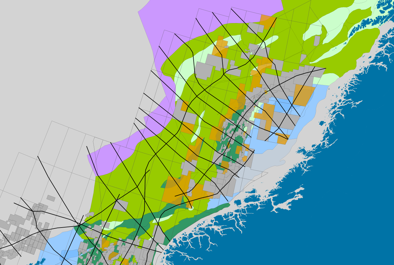
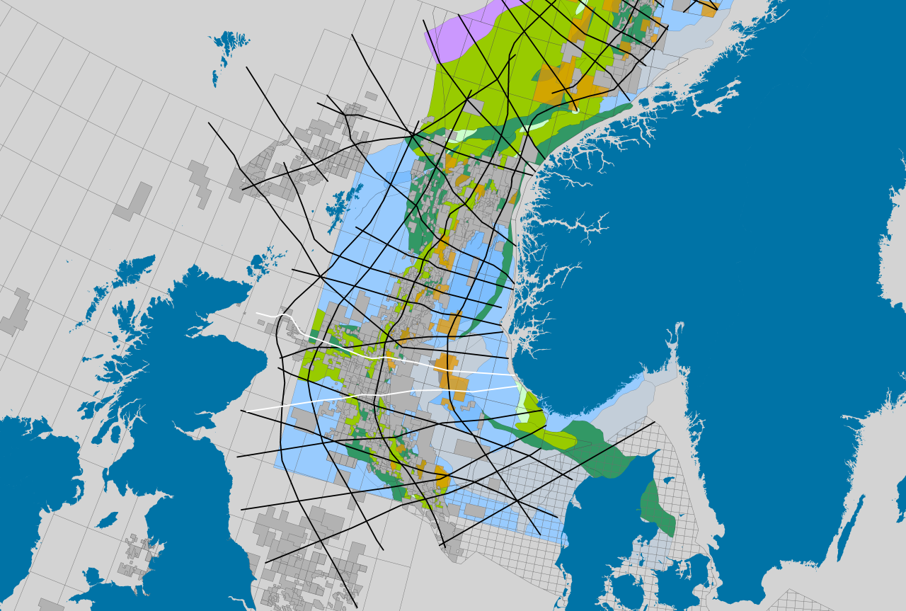
MCG and SeaBird Exploration is pleased to offer the industry brand new regional seismic 2D data to help increase the knowledge and regional understanding of the NCS geology. The Regional Deep Imaging Campaign started in September 2018, and so far 2,000 km long offset, deep tow seismic 2D data has been acquired in the Barents Sea and in the North Sea (cross border NCS-UKCS). The campaign is continuing in 2019 with acquisition of 14,000 km in the Barents Sea, the Norwegian Sea and in the North Sea.
The data will give you new geological information about basin geometries and deep seated crustal structures, which is important for existing licenses and the newly awarded APA2018 licenses. Please see maps below for the RDI survey layout and the location of the newly announced APA2018 licenses.
The Barents Sea: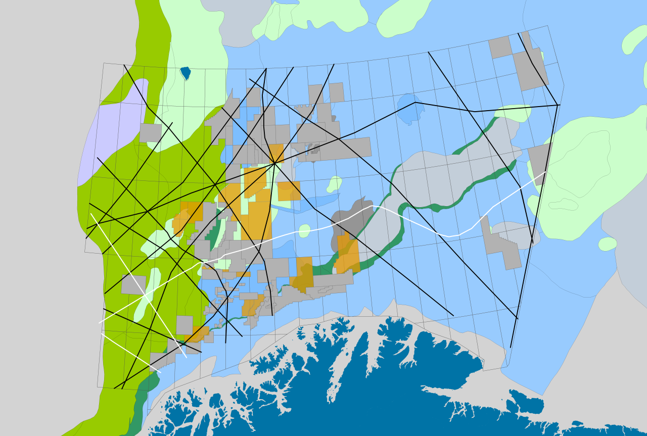
For more information about the Regional Deep Imaging Campaign, please see http://www.mcg.no/news-archive/RDI
Tor Åkermoen
tor.akermoen@mcg.no
(+47) 952 11 965
Lars Ivar Leivestad
lars.ivar.leivestad@mcg.no
(+47) 977 14 997