Froan/Frøya MC3D GeoStreamerX®-Enhanced Dataset Now Available for APA 2026
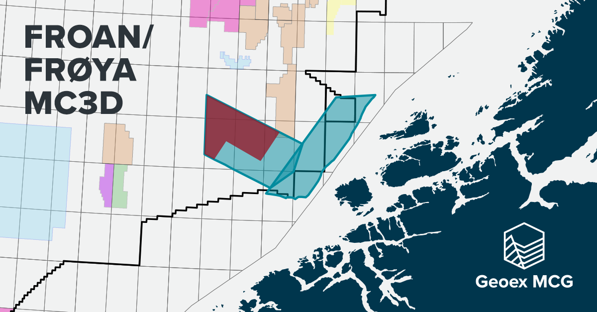
08 May 2026Geoex MCG is pleased to announce the availability of the Froan/Frøya MC3D multi‑client 3D seismic dataset, covering more than 2,800 km² across the Frøya High and Froan Basin, and selectively enhanced using GeoStreamerX® technology in cooperation with TGS. The survey is strategically located across multiple blocks open for application in APA 2026, including newly added acreage.
Originally acquired in 2017, the Froan/Frøya MC3D survey has been selectively upgraded through the integration of newer perpendicular GeoStreamer® acquisition, resulting in a dual‑azimuth GeoStreamerX® data. Processing using FWI‑based velocity model building and the GeoStreamerX® workflow has delivered reduced noise, improved velocity model, and a significant uplift in seismic image quality. The result offers in a consistent, high‑fidelity dataset optimised for modern exploration workflows.
The enhanced data supports more reliable mapping of the thin stratigraphic Upper Jurassic Rogn sandstone reservoir, while also enabling evaluation of Cretaceous and Permian exploration potential, expanding the range of viable plays across the area. Improved structural and stratigraphic clarity strengthens prospect identification, risking, and ranking ahead of APA 2026 submissions.
Now available for licensing, the enhanced Froan/Frøya MC3D provides a cost‑ and time‑efficient route to premium subsurface insight. Extensive contiguous coverage delivers strong regional context and supports cross‑block correlations, helping applicants identify and de‑risk opportunities and build more robust, competitive APA 2026 applications.
Froan/Frøya GeoStreamerX®-Enhanced benefits at a glance:
1. Reduced exploration risk ahead of APA 2026 application
The integrated GeoStreamerX® dataset delivers clearer seismic imaging and more reliable velocities, enabling higher‑confidence subsurface evaluations and stronger licensing decisions in a competitive APA round.
2. Enhanced visibility of subtle reservoirs
Improved resolution supports more reliable mapping of thin Upper Jurassic Rogn sandstones, while also unlocking evaluation of deeper Cretaceous and Permian potential, expanding the viable play portfolio within each block.
3. Competitive insight across open and newly added acreage
The surveys cover a large contiguous area with many blocks open for APA 2026, including newly released acreage in the Froan Basin, providing license applicants with valuable subsurface insight where data coverage has historically been limited.
4. Cost‑ and time‑efficient access to premium seismic data
Fully processed, ready‑to‑use MC3D data removes the need for bespoke acquisition, accelerating prospect maturation and reducing upfront G&G investment during tight evaluation windows.
5. Strong regional context for play and prospect development
The combined multi‑vintage, dual‑azimuth GeoStreamerX® approach improves regional consistency, supporting basin‑scale understanding, cross‑block correlations, and more robust prospect risking and ranking.
The enhanced Frøya High and Froan Basin dataset forms part of a broader three-year GeoStreamerX® Campaign in the Norwegian Sea, providing regional consistency in acquisition and processing.
For further information and licensing options, please contact Jamshade Khan, Tor Åkermoen